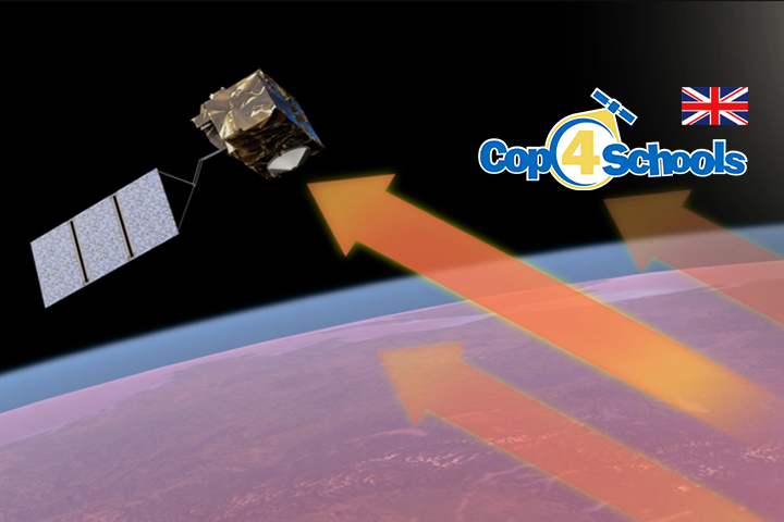
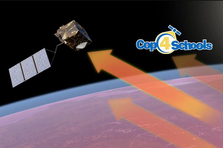
Light is reflected in a specific direction from smooth surfaces, while rough surfaces scatter it in many directions. Radar satellites use this principle for Earth observation. They send microwaves to the Earth and analyze the returning signals to identify different types of surfaces. Smooth surfaces appear differently on radar images compared to rough ones. By analyzing these differences, scientists can gather important information about the Earth’s surface. Stay tuned to learn more!

Month: October 2024
Categories
Space Thermometer
Measuring temperatures is something we do every day. But how do you measure the temperature of the entire Earth? This video introduces you to the Sentinel-3 satellite, our “thermometer in space.” You’ll learn how it measures the Earth’s heat from 800 km above, and what we can learn from it. We’ll look at fascinating thermal images, like one from a heatwave in Egypt. You’ll see how cities, deserts, and forests have different temperatures. In the end, we’ll explain why these measurements are so important for understanding climate change and extreme weather events.
Categories
Weltraumthermometer
Temperaturen messen, das machen wir jeden Tag. Aber wie misst man die Temperatur der ganzen Erde? Dieses Video zeigt euch den Satelliten Sentinel-3, unser “Thermometer im Weltraum”. Ihr erfahrt, wie er aus 800 km Höhe die Wärme der Erde misst und was wir daraus lernen können. Wir schauen uns spannende Wärmebilder an, zum Beispiel von einer Hitzewelle in Ägypten. Ihr seht, wie unterschiedlich warm Städte, Wüsten und Wälder sind. Am Ende erklären wir, warum diese Messungen so wichtig sind, um Klimawandel und extreme Wetterereignisse zu verstehen.