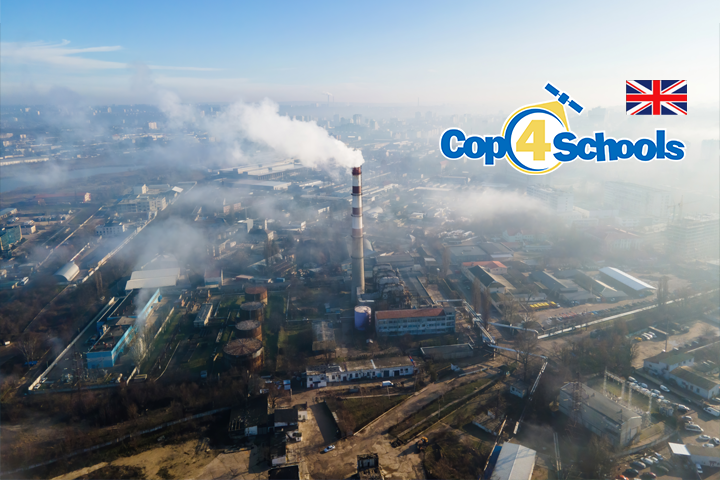
Methane (CH4) is a strong greenhouse gas and the second biggest global warming driver. The primary emissions come from agriculture, fossil fuels and waste. Global atmospheric methane concentration has increased for decades – around 7% since 2006. Controlling fossil fuel operation emissions has the most significant short-term reduction potential. Leaks from pipelines and gas fields are unpredictable and short-lived. It is possible to detect these substantial plumes using satellites. Mapping large plums has been started by the Netherlands Institute for Space Research using satellite images and AI. In January 2023, they detected 192 of these plumes, mainly in Asia.
Die App ist Teil der Columbus-Eye-App. Kostenlos erhältlich im Apple Store (Part “Sommer in Stadt, Land, Flus”)
Goals: The students…
-
are able to use remote sensing tools for detecting methane (or other) emissions,
-
describe the natural methane level,
-
search the reason why the emissions of methane can be too large.
The ZIP file (2 MB) contains a teacher’s commentary and the worksheet.