Copernicus4Schools
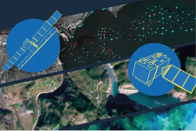
Sentinels in Space – Learning with Satellite Images
This booklet provides a clear introduction to Earth observation with the European Copernicus programme. It introduces the Sentinel satellites – the "Sentinels in Space" – and their tasks in observing the climate, environment and changes on Earth. In addition to technical basics such as resolution, spectra and image interpretation, the booklet shows practical examples of how satellite images can be used in school lessons – for example, in geography, biology, physics or computer science. It also explains current educational projects, freely available data portals and software tools such as…
Metaaniheite tuvastamine satelliidipiltide abil
Metaan (CH4) on tugev kasvuhoonegaas. Selle peamised heitkogused pärinevad põllumajandusest, fossiilkütuste põletamisest ja jäätmemajandusest. Ülemaailmne metaani kontsentratsioon atmosfääris on aastakümneid suurenenud. Alates 2006. aastast on selle sisaldus suurenenud ligikaudu 7%. Kiireim viis heitme vähendamiseks on kontrollida fossiilkütuste käitlemist. Satelliidipiltide abil on võimalik tuvastada selliseid ettearvamatuid ja lühiajalisi lekkeid nagu torujuhtmete ja gaasiväljade lekked. Hollandi kosmoseuuringute instituut kasutab oluliste reostuskollete kaardistamiseks satelliidipiltide…
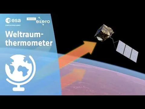
Space Thermometer
Measuring temperatures is something we do every day. But how do you measure the temperature of the entire Earth? This video introduces you to the Sentinel-3 satellite, our "thermometer in space." You’ll learn how it measures the Earth’s heat from 800 km above, and what we can learn from it. We’ll look at fascinating thermal images, like one from a heatwave in Egypt. You’ll see how cities, deserts, and forests have different temperatures. In the end, we’ll explain why these measurements are so important for understanding climate change and extreme weather events.
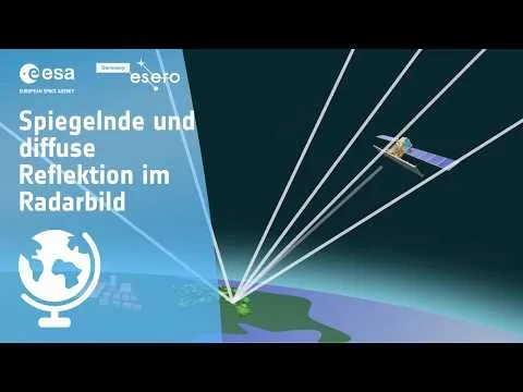
Reflection in Focus – Earth Observation by Radar Satellites
Reflection in Focus – Earth Observation by Radar Satellites Radar satellites use the reflective properties of the Earth’s surface to gather valuable information. These satellites send electromagnetic waves to the Earth, which are reflected back from the surface and return to the satellite. The analysis of these returning signals makes it possible to identify different materials, structures, and even changes over time. But how do radar satellites use reflection to capture and analyze data about the Earth’s surface? And what can actually be detected in radar images? Use the worksheet…
Specular and Diffuse Reflection in Radar Images
Light is reflected in a specific direction from smooth surfaces, while rough surfaces scatter it in many directions. Radar satellites use this principle for Earth observation. They send microwaves to the Earth and analyze the returning signals to identify different types of surfaces. Smooth surfaces appear differently on radar images compared to rough ones. By analyzing these differences, scientists can gather important information about the Earth’s surface. Stay tuned to learn more!
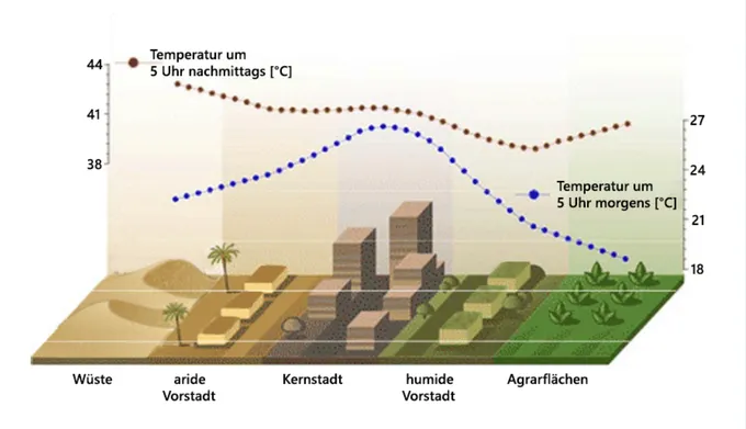
Sommer in Stadt, Land und Fluss
Diese Unterrichtseinheit vermittelt Schüler:innen anschaulich die Auswirkungen von Hitzewellen und urbanen Hitzeinseln im Kontext des Klimawandels. Mithilfe von Satellitendaten und digitalen Tools analysieren sie reale Beispiele und entwickeln eigene Lösungsansätze für lebenswertere Städte. Das Material eignet sich besonders für den Geographieunterricht der Sekundarstufe I und fördert sowohl fachliche als auch methodische Kompetenzen. Ziele der Einheit: Verständnis von Hitzewellen und urbanen Hitzeinseln entwickeln Unterschiede zwischen Stadt-, Land- und Flussräumen analysieren…