Multilingual materials
Some of our materials and videos are available in English, French and Estonian.
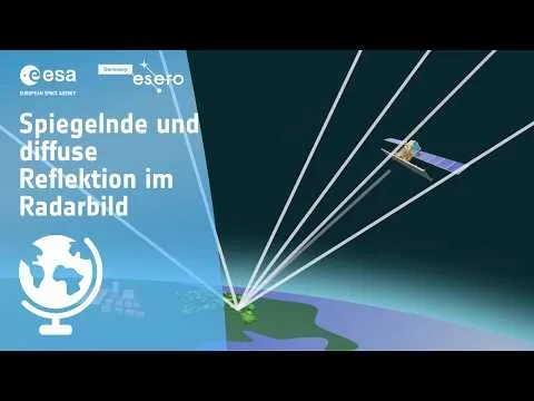
Reflection in Focus – Earth Observation by Radar Satellites
Reflection in Focus – Earth Observation by Radar Satellites Radar satellites use the reflective properties of the Earth’s surface to gather valuable information. These satellites send electromagnetic waves to the Earth, which are reflected back from the surface and return to the satellite. The analysis of these returning signals makes it possible to identify different materials, structures, and even changes over time. But how do radar satellites use reflection to capture and analyze data about the Earth’s surface? And what can actually be detected in radar images? Use the worksheet…
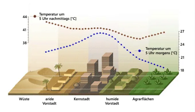
Sommer in Stadt, Land und Fluss
Diese Unterrichtseinheit vermittelt Schüler:innen anschaulich die Auswirkungen von Hitzewellen und urbanen Hitzeinseln im Kontext des Klimawandels. Mithilfe von Satellitendaten und digitalen Tools analysieren sie reale Beispiele und entwickeln eigene Lösungsansätze für lebenswertere Städte. Das Material eignet sich besonders für den Geographieunterricht der Sekundarstufe I und fördert sowohl fachliche als auch methodische Kompetenzen. Ziele der Einheit: Verständnis von Hitzewellen und urbanen Hitzeinseln entwickeln Unterschiede zwischen Stadt-, Land- und Flussräumen analysieren…
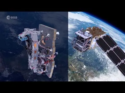
Images from Space
Satellite images show our planet from new angles and in the most unusual colors. But they’re not just beautiful to look at! They help gather information whose analysis makes an invaluable contribution to our understanding of the Earth system and the changes it is undergoing. But how does this work? What do these silent observers—the satellites—look like? What data do they provide, and how do they help us understand the highly dynamic processes on our planet and recognize the role humans play in them?