Learning materials
Remote sensing covers a broad spectrum: from physical and mathematical foundations to application-oriented analyses in the environmental sciences. This makes the topic well suited for interdisciplinary teaching. We develop learning modules for the school subjects mathematics, physics, computer science, geography and biology. The technical and physical foundations of remote sensing are covered in mathematics, physics and computer science. Processing and analysing remote sensing data is a subject of the application-oriented subjects geography and biology.
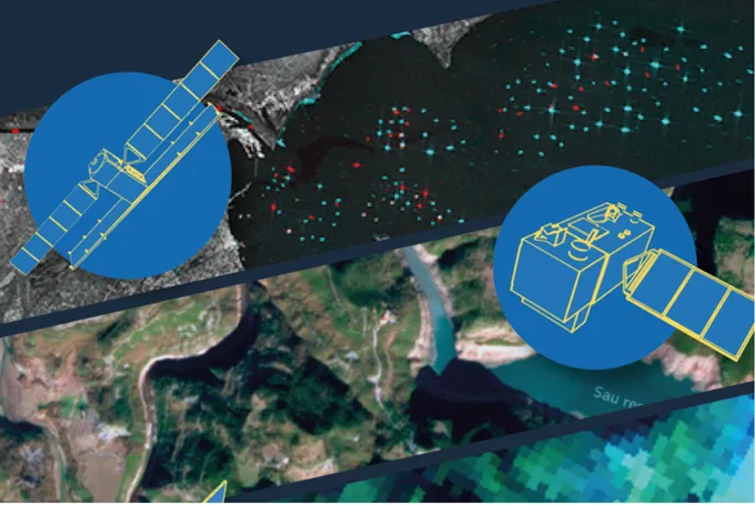
Sentinels in Space – Learning with Satellite Images
This booklet provides a clear introduction to Earth observation with the European Copernicus programme. It introduces the Sentinel satellites – the "Sentinels in Space" – and their tasks in observing the climate, environment and changes on Earth. In addition to technical basics such as resolution, spectra and image interpretation, the booklet shows practical examples of how satellite images can be used in school lessons – for example, in geography, biology, physics or computer science. It also explains current educational projects, freely available data portals and software tools such as…
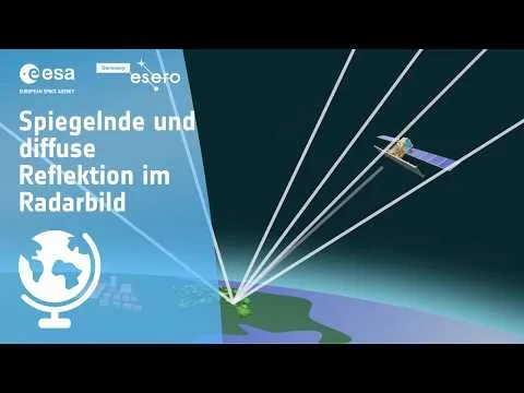
Specular and Diffuse Reflection in Radar Images
Light is reflected in a specific direction from smooth surfaces, while rough surfaces scatter it in many directions. Radar satellites use this principle for Earth observation. They send microwaves to the Earth and analyze the returning signals to identify different types of surfaces. Smooth surfaces appear differently on radar images compared to rough ones. By analyzing these differences, scientists can gather important information about the Earth’s surface. Stay tuned to learn more!