Learning materials
Remote sensing covers a broad spectrum: from physical and mathematical foundations to application-oriented analyses in the environmental sciences. This makes the topic well suited for interdisciplinary teaching. We develop learning modules for the school subjects mathematics, physics, computer science, geography and biology. The technical and physical foundations of remote sensing are covered in mathematics, physics and computer science. Processing and analysing remote sensing data is a subject of the application-oriented subjects geography and biology.
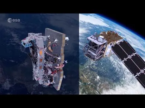
Images from Space
Satellite images show our planet from new angles and in the most unusual colors. But they’re not just beautiful to look at! They help gather information whose analysis makes an invaluable contribution to our understanding of the Earth system and the changes it is undergoing. But how does this work? What do these silent observers—the satellites—look like? What data do they provide, and how do they help us understand the highly dynamic processes on our planet and recognize the role humans play in them?